Drone Services
Pinnacle Perspectives specializes in professional drone photography and videography, delivering sharp, cinematic aerial visuals for a wide range of projects. From high-resolution imagery to smooth, dynamic video, we capture perspectives that are impossible to achieve from the ground. Alongside our drone services, we offer select geospatial and mapping support, allowing aerial data to be accurately referenced, mapped, and analyzed when needed. This combination ensures our clients receive not only visually compelling content, but also reliable spatial context to support planning, documentation, and decision-making.
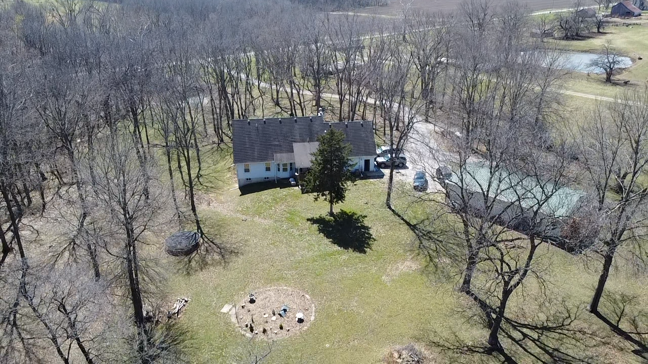
A professional aerial photography package focused on delivering highly detailed, high-quality imagery. Pinnacle Perspectives specializes in drone-based photography to capture your property, home, or any location of your choosing. We provide a diverse collection of aerial photographs from multiple angles, elevations, and viewpoints to best represent your site.
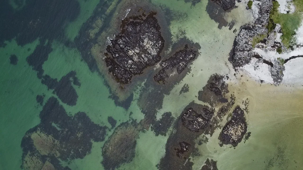
A comprehensive aerial videography package designed to capture your property from every perspective. Pinnacle Perspectives specializes in professional drone operations to film your home, land, or any location of your choosing. We deliver high-quality aerial videos and photos from a variety of angles, altitudes, and viewpoints to best showcase your site.
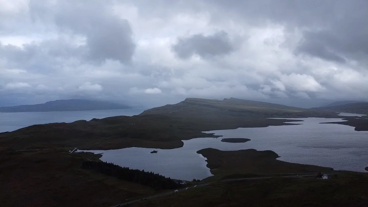
An overarching package showcasing the full range of high-caliber geospatial and aerial services Pinnacle Perspectives has to offer. This bundle includes drone photography, drone videography, and aerial consulting tailored to your specific needs. Whether the project involves a home, property, or other site, we conduct a broad range of spatial analyses to deliver meaningful insights.
Our Dedication to Top-notch Drone Precision
Professional Drone Photography & Videography
Delivering high-resolution imagery and smooth, cinematic aerial video
FAA Part 107–certified and fully insured operations
With strict adherence to airspace regulations and safety standards
Intentional flight planning and execution
Focused on capturing meaningful perspectives rather than generic aerial shots
Clear, high-quality deliverables
Including edited photos and video in web- and print-ready formats