Ready to see your life from above?
Physical problems → Digital Solutions
Pinnacle Perspectives elevates understanding through drone imagery and geospatial consulting. By capturing accurate aerial data and turning it into meaningful analysis, we help clients see their projects from a higher perspective.
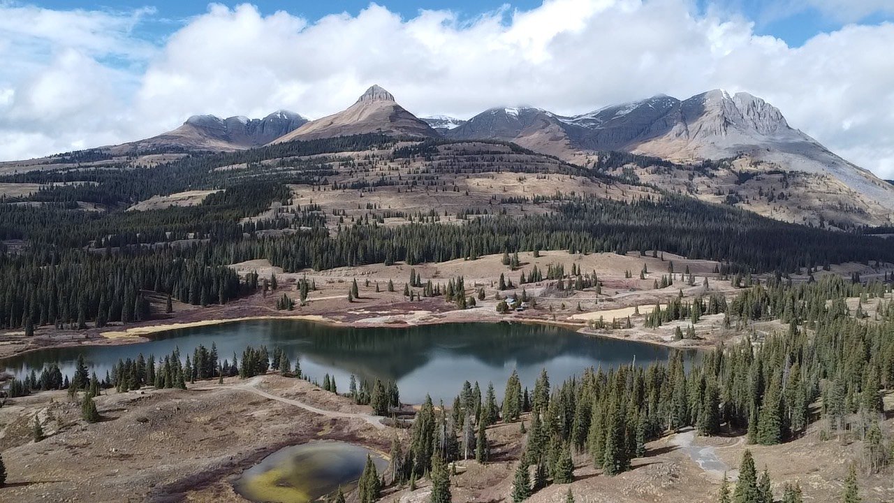
A professional aerial photography package focused on delivering highly detailed, high-quality imagery. Pinnacle Perspectives specializes in drone-based photography to capture your property, home, or any location of your choosing. We provide a diverse collection of aerial photographs from multiple angles, elevations, and viewpoints to best represent your site.
A comprehensive aerial videography package designed to capture your property from every perspective. Pinnacle Perspectives specializes in professional drone operations to film your home, land, or any location of your choosing. We deliver high-quality aerial videos and photos from a variety of angles, altitudes, and viewpoints to best showcase your site.
An overarching package showcasing the full range of high-caliber geospatial and aerial services Pinnacle Perspectives has to offer. This bundle includes drone photography, drone videography, and aerial consulting tailored to your specific needs. Whether the project involves a home, property, or other site, we conduct a broad range of spatial analyses to deliver meaningful insights.
Pinnacle Perspectives offers professional drone photography that showcases your property from its best angle. From striking aerial visuals to detailed site overviews, our imagery helps tell a compelling story from above.
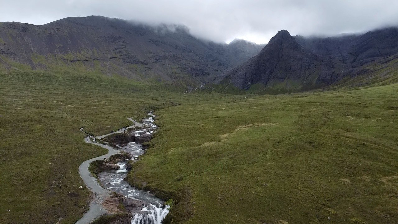
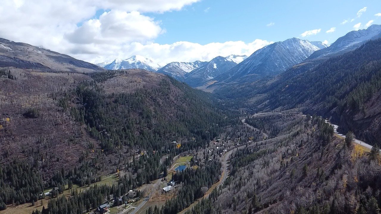
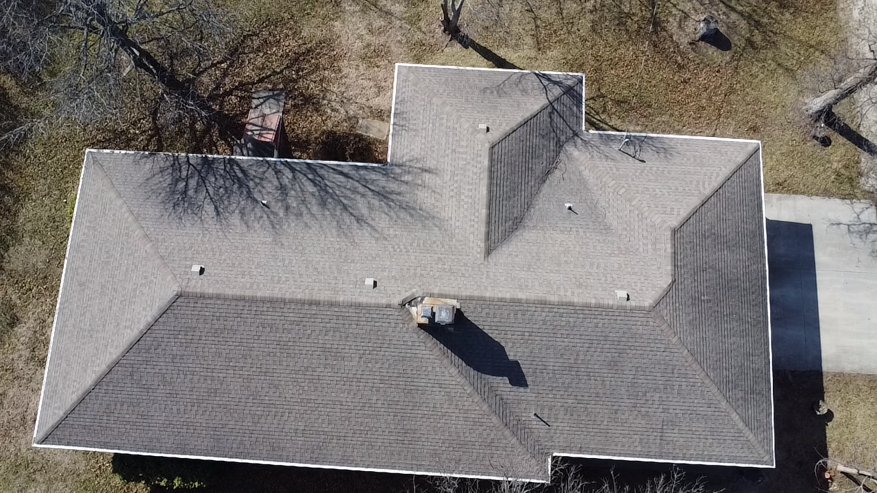
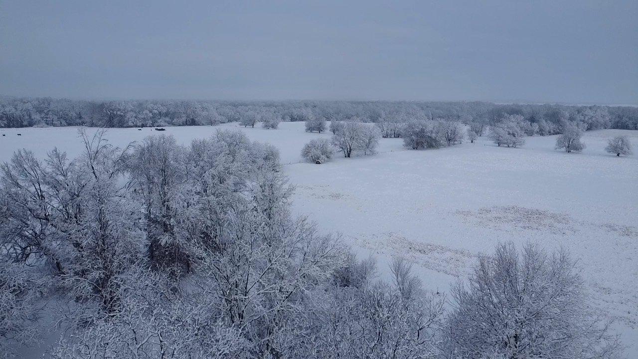
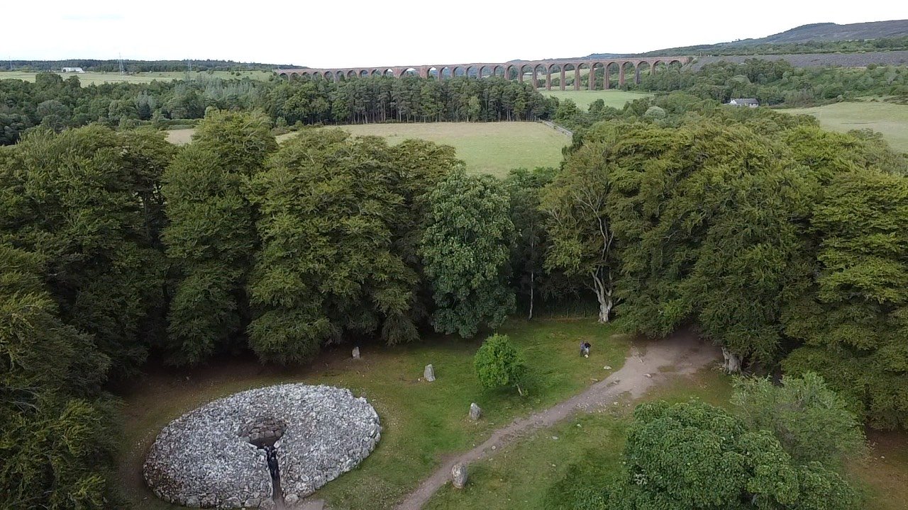
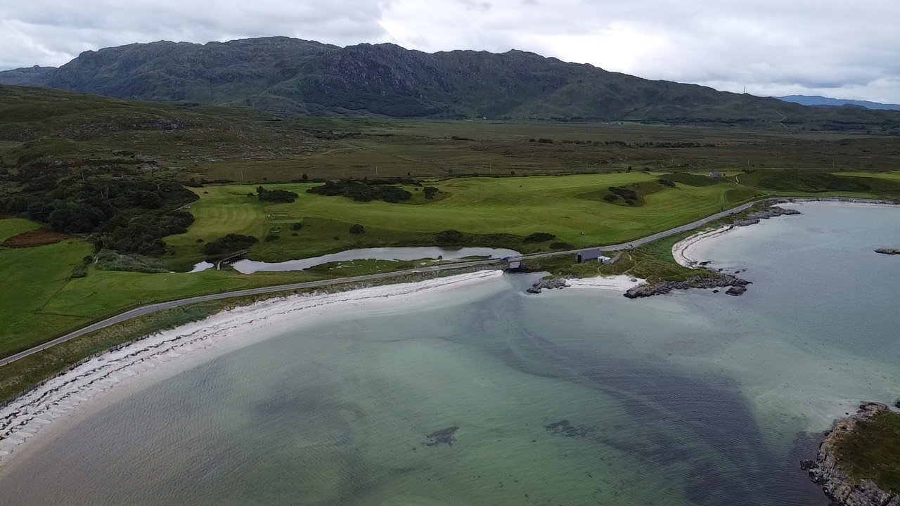
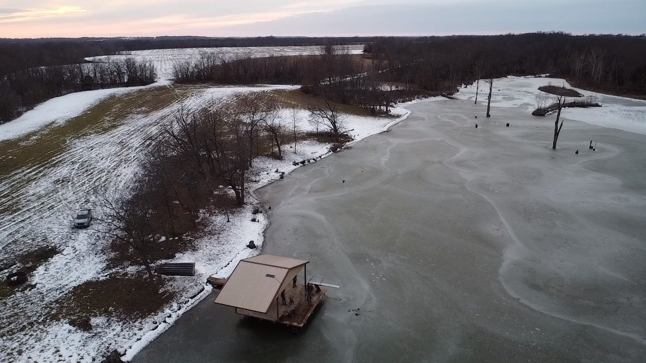
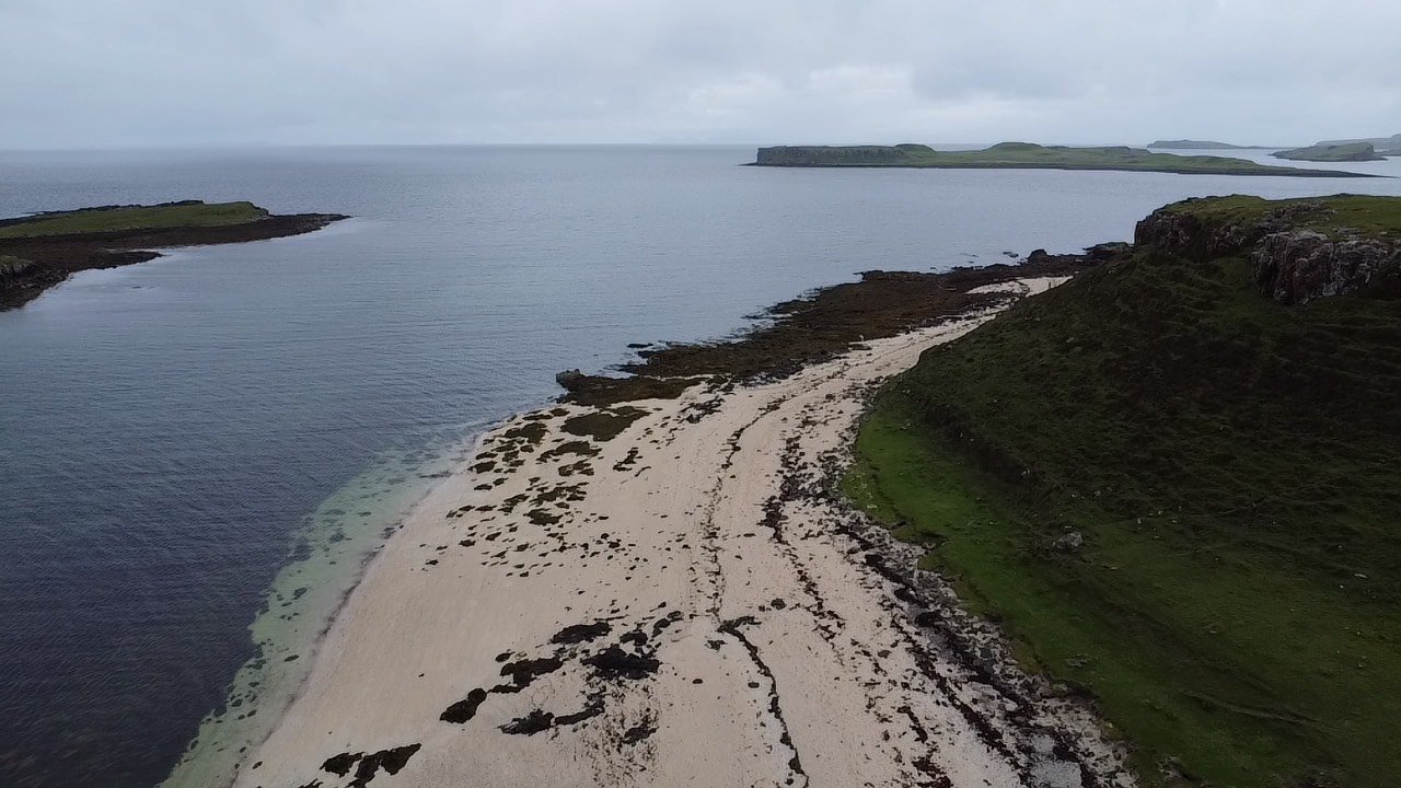
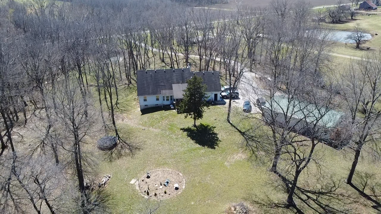
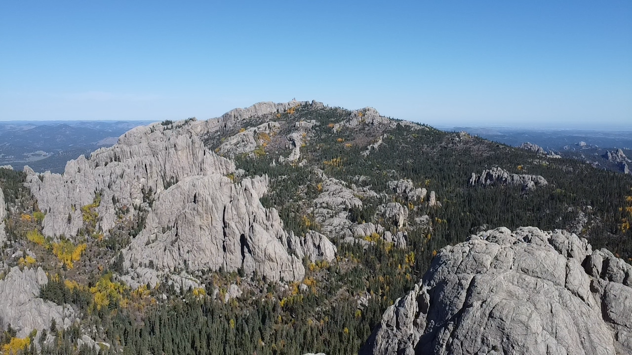
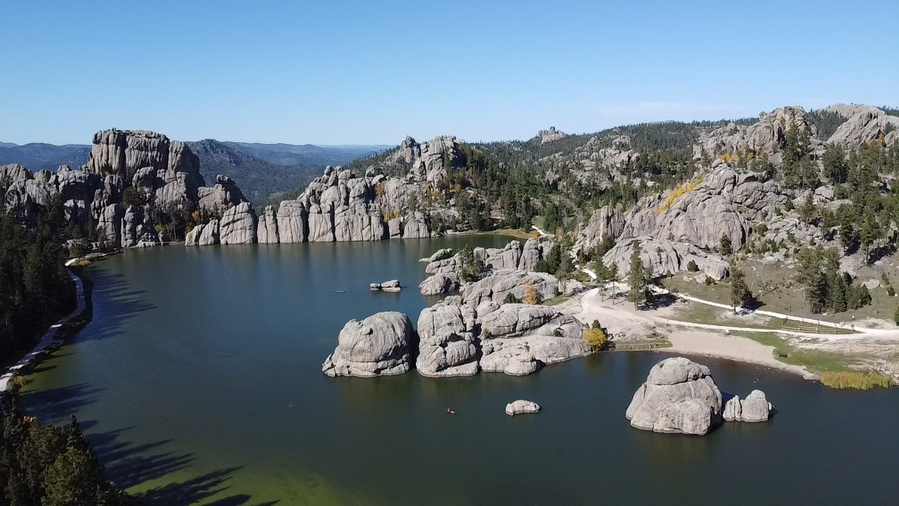
We deliver precision-driven drone videography that goes beyond visuals. By combining high-resolution aerial data with advanced geospatial analysis, we transform flights into actionable insights tailored to each client’s objectives. From site assessment to spatial modeling, our drone solutions are designed to fit real-world geographic needs—not just capture footage.
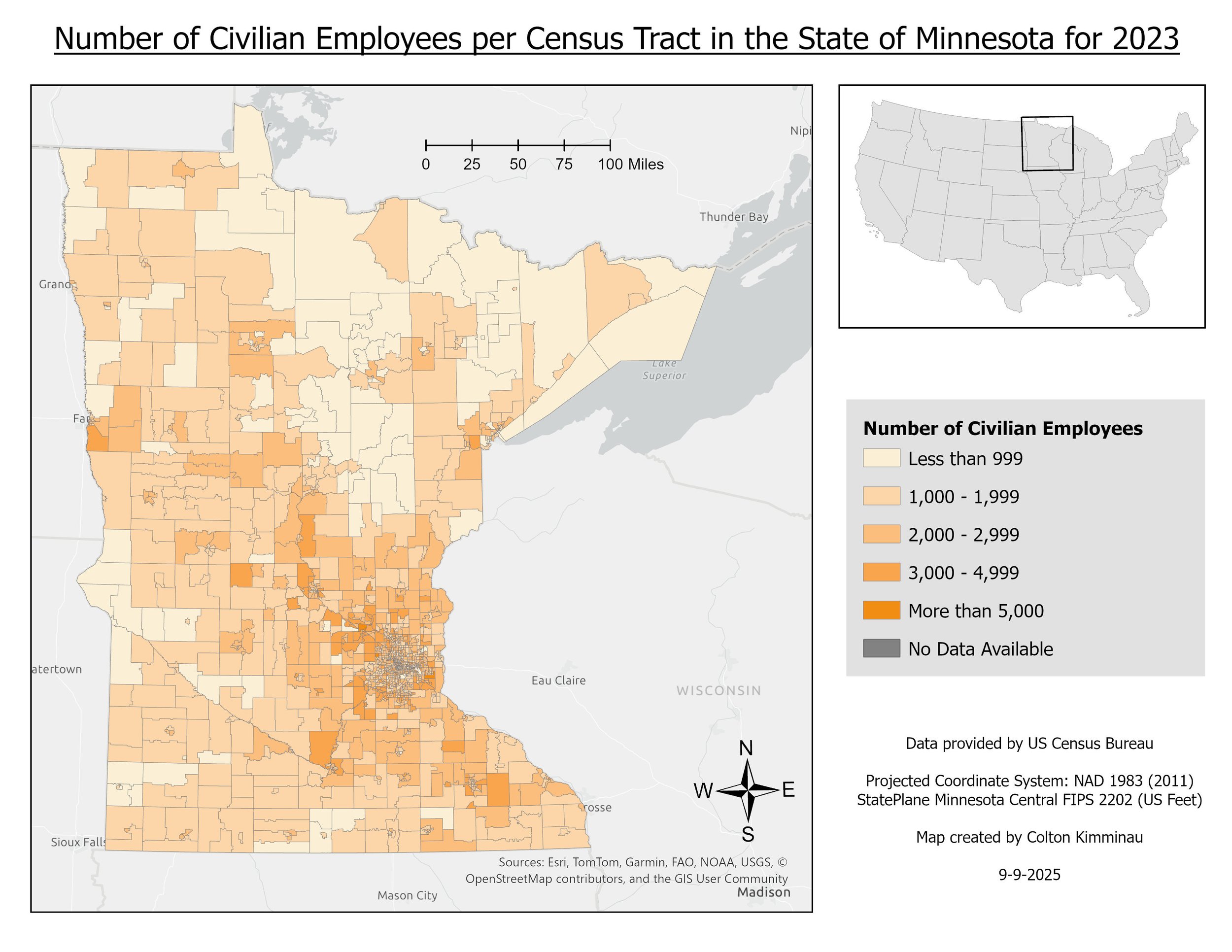
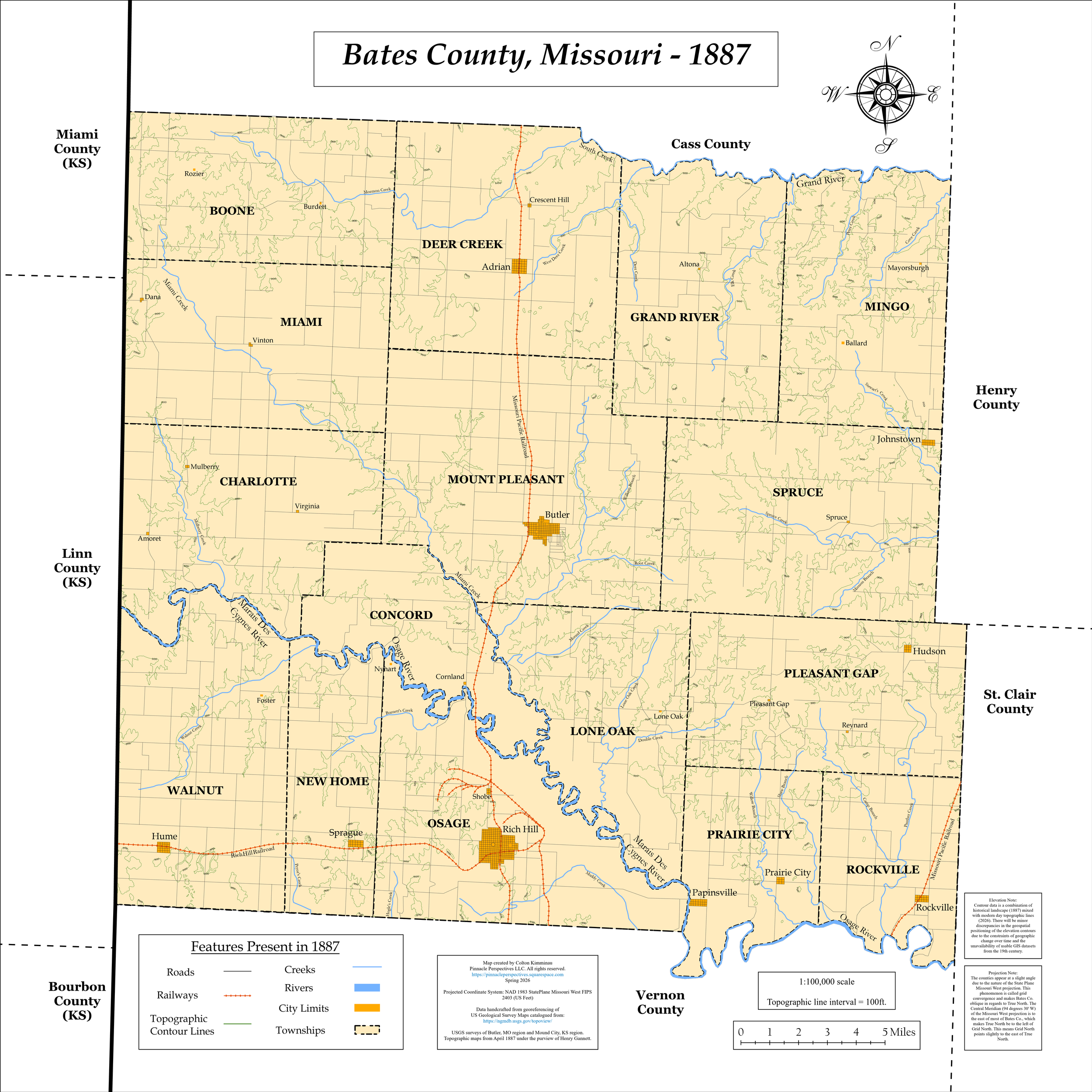
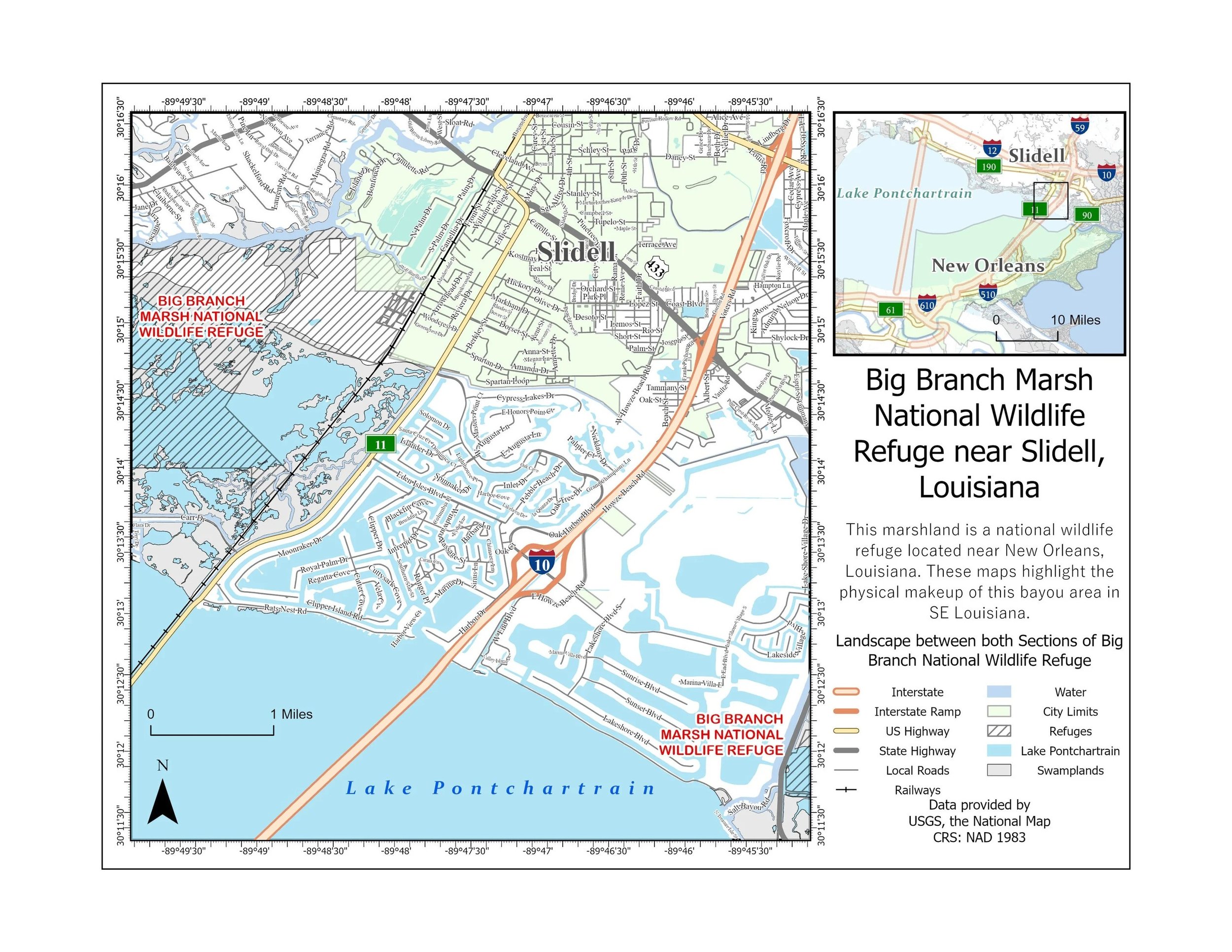
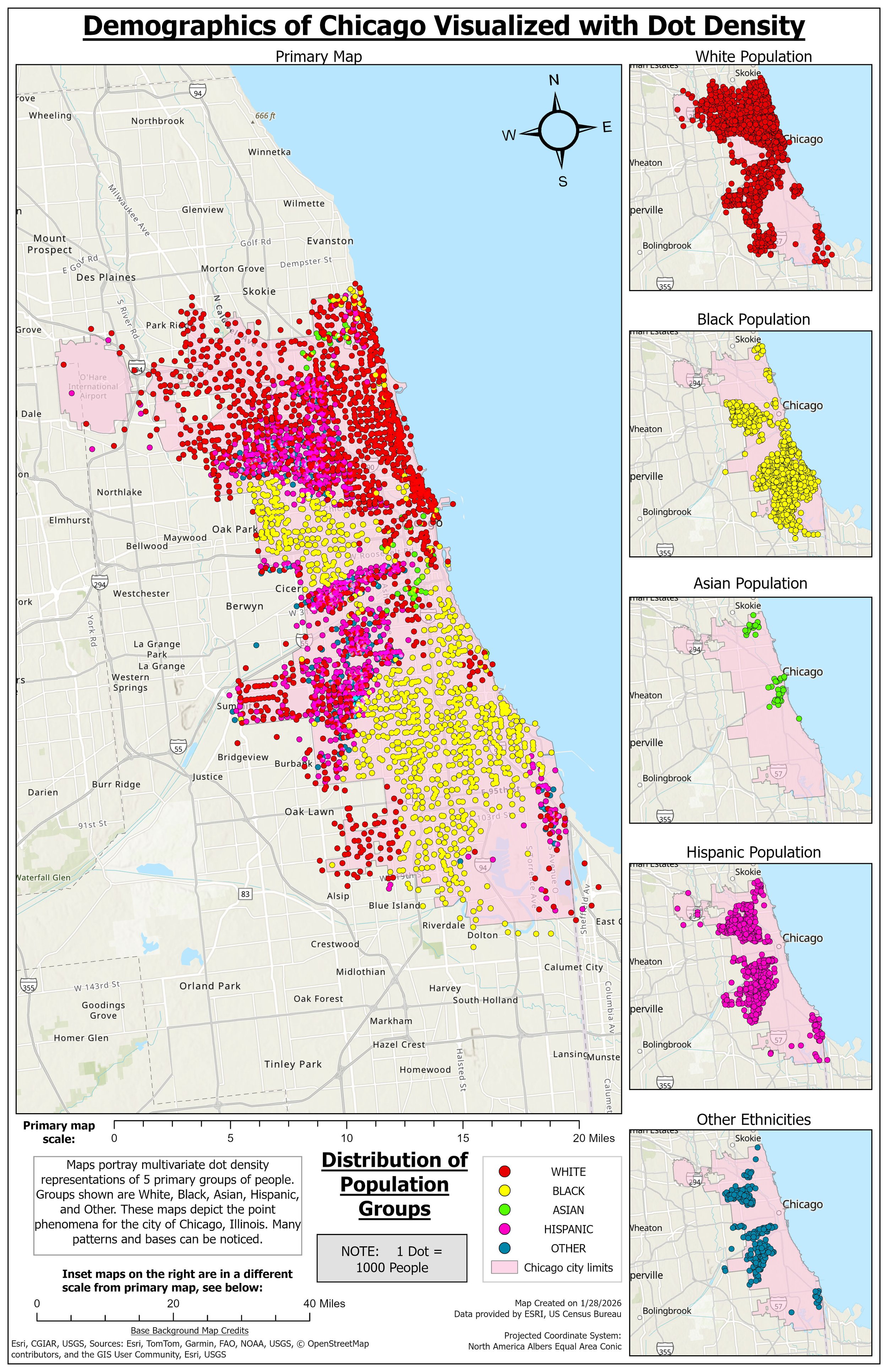
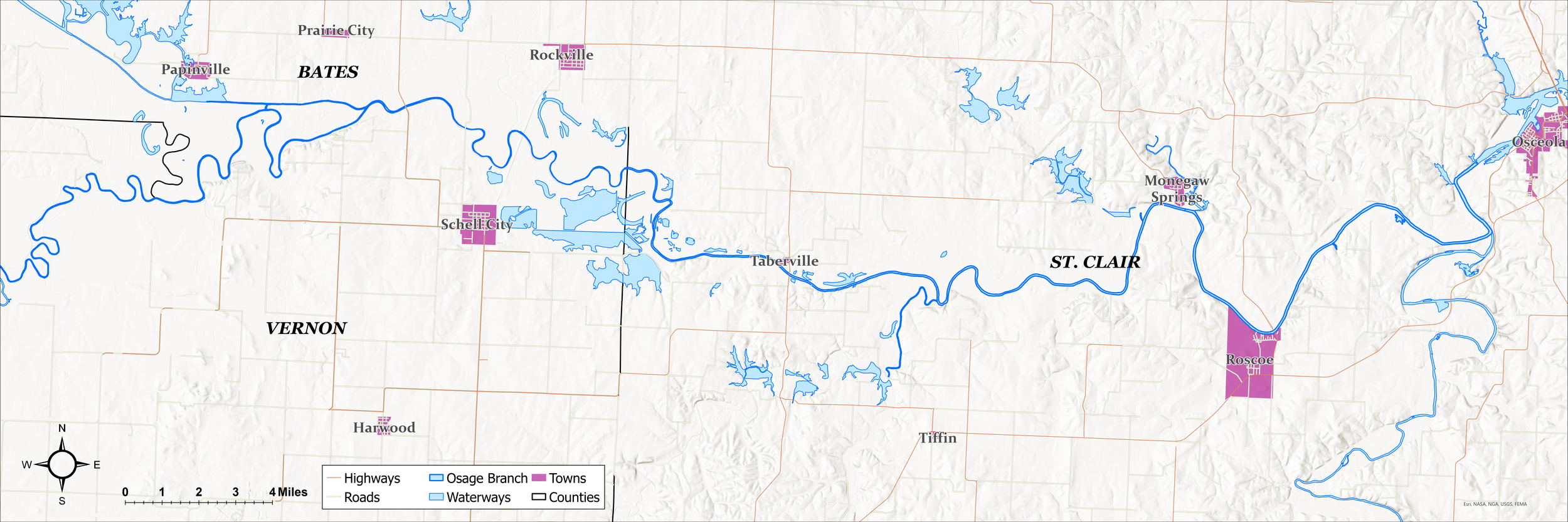
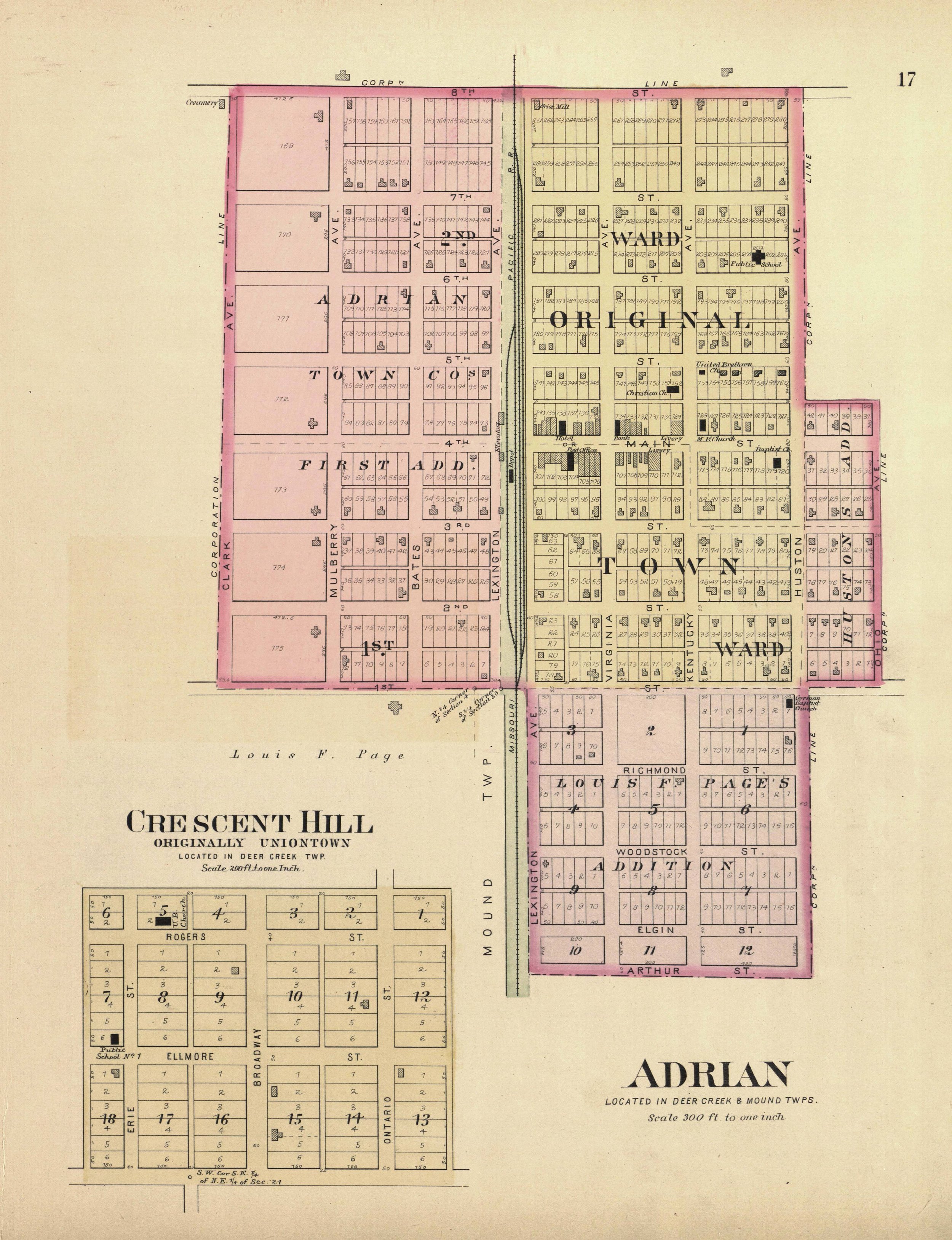
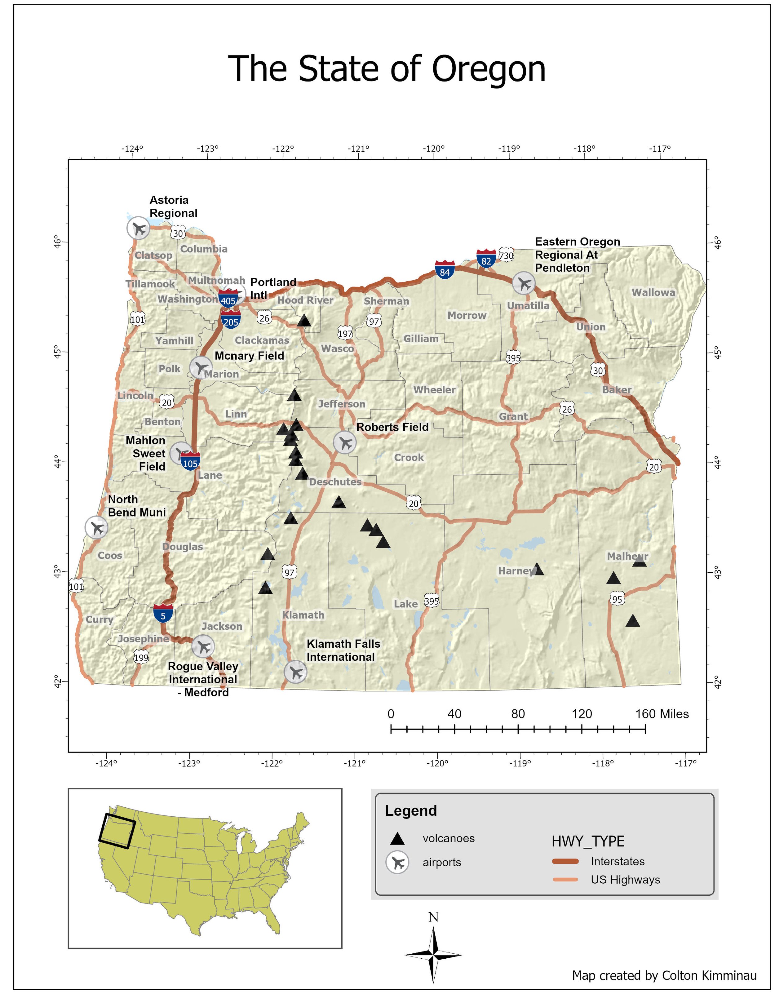
A tailored collection of downloadable map products designed to meet your specific project needs. These may include high-resolution maps, GIS data layers, annotated visuals, and analysis-ready files that you can use for planning, reporting, or presentations.
A comprehensive service that combines custom digital map products with expert geographic consulting and drone-based analysis. This includes aerial data collection, spatial interpretation, and actionable insights to support decision-making, site assessment, or project development.
A professionally designed, high-quality physical map customized to your specifications. This service includes printing and delivery by mail or shipment, ideal for field use, displays, reports, or permanent reference.
By combining advanced drone capabilities, GIS expertise, and flexible product options, we deliver mapping solutions that are not only accurate but also tailored to the way you work. From digital downloads to physical maps and full-scale consulting, we ensure your project has the geographic insights it needs to succeed.